Denitrification process rates along a gradient of salt-marsh health
Independent study to relate marsh condition and historical ditching to denitrification rates, leveraging multispectral drone mapping as context.
Overview
Following the NJDEP mapping work, I developed an independent proposal to examine how marsh condition and historical ditching influence denitrification rates. The goal is to place measured rates in the context of multispectral drone indices and site condition to understand ecosystem functioning and service retention across a marsh-health gradient.
View Full Project Report (PDF)
My role
- Designed the study and field sampling plan across contrasting marsh conditions.
- Coordinated with the drone-imagery team to align sites/indices with rate measurements.
- Managed data collection, QA, and organization for analysis.
Tech & methods
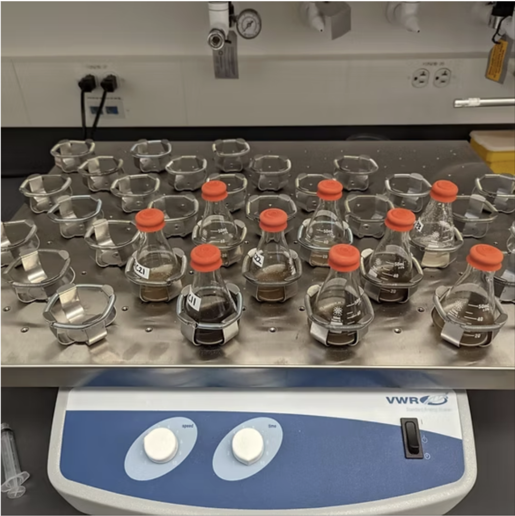
- Field: Transects across ditching gradients; pore-water/soil sampling at fixed plots.
- Rates: Potential denitrification assays / incubation approaches (site-appropriate).
- Context data: Use of multispectral drone products and site notes for interpretation.
Results
- Working hypothesis: ditching and degraded condition reduce denitrification capacity.
- Outputs will link rate measurements to spectral indices and site condition.
× ![]()