Assessing salt-marsh health using multispectral imagery from drones
NJDEP project pairing drone multispectral imagery with pore-water chemistry ground truth to assess the health of New Jersey’s tidal wetlands.
Overview
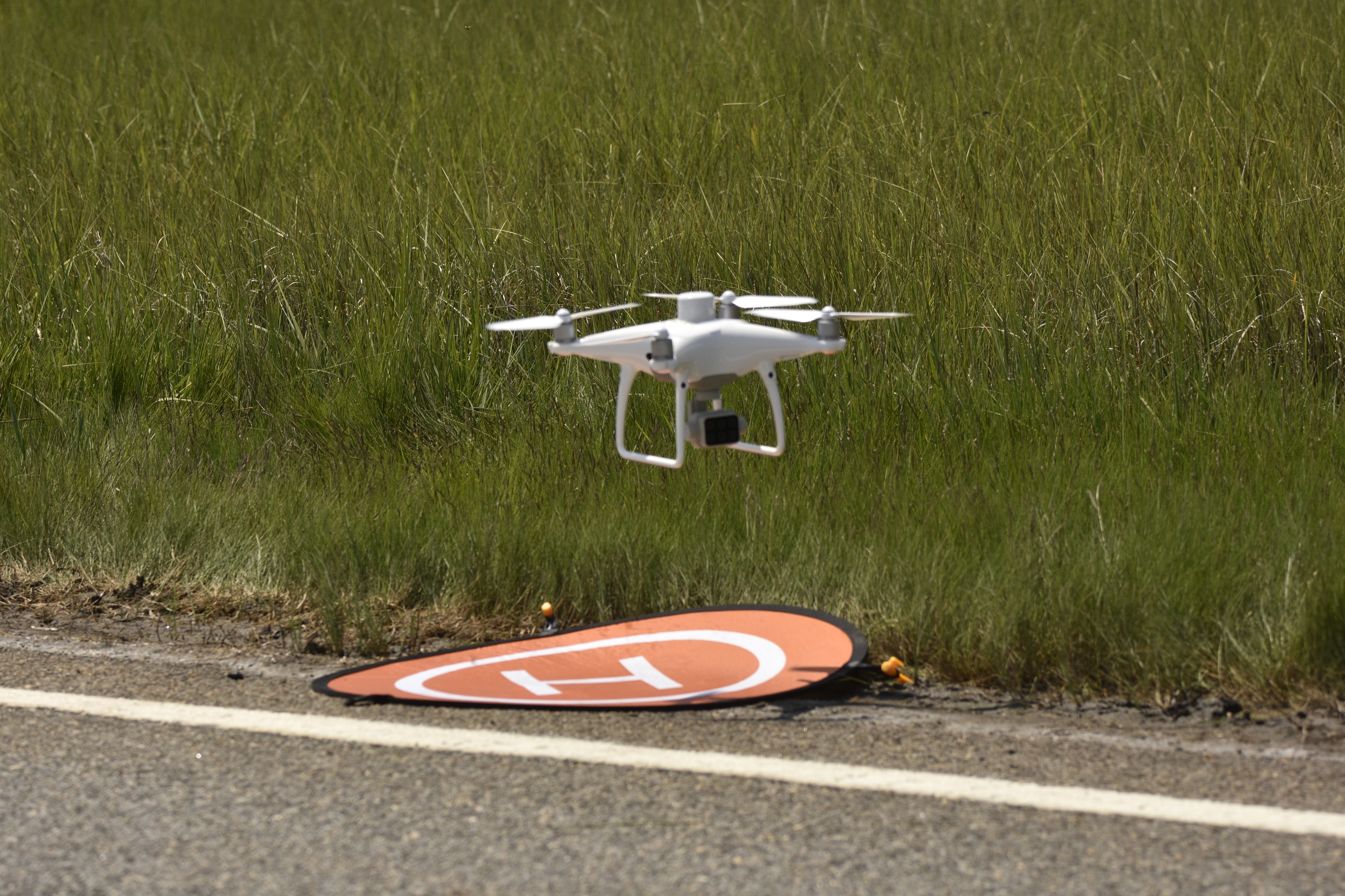
As part of an NJDEP (New Jersey Department of Environmental Protection) effort to develop a novel method for assessing the health of New Jersey’s ~200,000 acres of tidal wetlands, we paired multispectral drone imagery with on-site pore-water chemistry.
This was part of a project that focused on developing a faster, cost-effective, and labor-efficient wetland mapping and condition assessment method.
My role
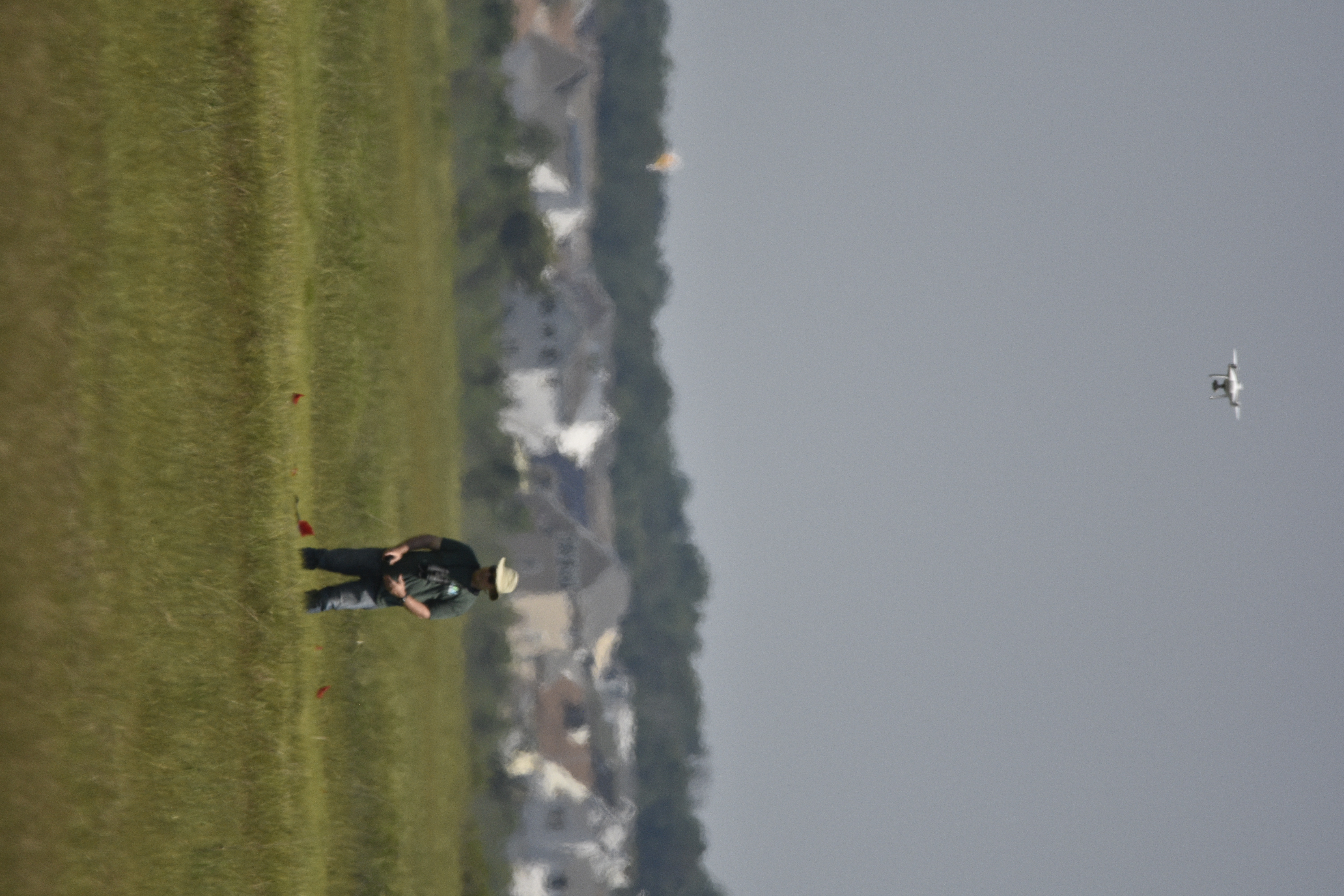
- Learned and performed pore-water sampling as the ground-truthing component for drone flights.
- Coordinated field collection with the flight team to align sampling locations/times with imagery coverage.
- Assisted with basic QA/labeling and data handoff for downstream analysis and mapping.
Tech & methods
- Remote sensing: Multispectral drone imagery (vegetation/health indices from spectral bands).
- Ground truth: In-situ pore-water chemistry sampling at targeted wetland locations.
- Workflow: Field planning → flights → pore-water sampling → data collation for mapping/assessment.
Results
- The resulting workflow reduced assessment time while providing a cost-effective way to map wetland condition.
- Ground-truth chemistry increased confidence in image-based estimates of wetland health.
× ![]()